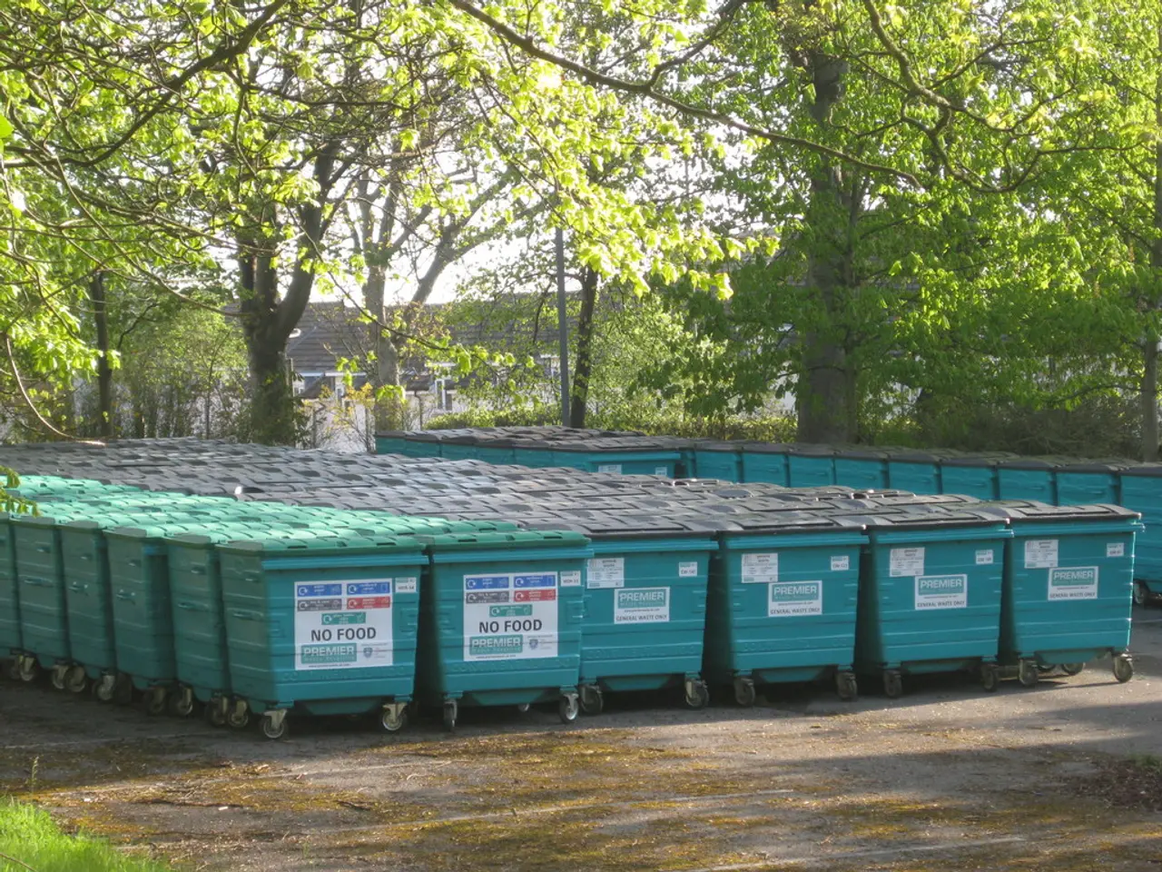
Enhancing Landfill Management through Aerial Surveillance and Evaluation by Drones!
As industries increasingly embrace innovative technologies, drones are proving to be essential tools for the future of waste management. These unmanned aerial vehicles (UAVs) are revolutionizing the way landfills are monitored and managed, offering significant improvements in safety, data collection, and cost-effectiveness.
Safety Improvements
One of the most notable benefits of drone mapping services is the reduction in risk exposure for personnel. By conducting aerial surveys without the need for ground crews to physically traverse hazardous areas, the risks associated with falls, slips, and trips in stockpiles and areas with heavy equipment are significantly reduced. Furthermore, regular drone flights can monitor site changes, identifying potential safety hazards before they become major issues, ensuring quicker response times to emerging problems.
Enhanced Data Collection
Drone mapping provides comprehensive visual records, enabling managers to track material movement and changes over time. This detailed data helps in monitoring compliance and identifying areas needing attention. Additionally, drones equipped with sensors can monitor environmental conditions such as methane emissions, providing accurate localization and quantification of emissions, which is crucial for regulatory compliance. High-resolution aerial imagery and photogrammetry allow for near-real-time updates, similar to mine surveys, which can be applied to landfill management for continuous monitoring of site conditions.
Cost-Effectiveness
Drones significantly speed up data collection compared to traditional methods, allowing for more frequent surveys at lower costs. This efficiency reduces the need for extensive ground crews and minimizes delays in decision-making due to outdated data. By identifying and resolving environmental issues proactively, landfill operators can avoid costly fines and enforcement actions, making drone services a financially prudent investment. With precise data, resources can be allocated more effectively to address priority areas, optimizing maintenance and repair efforts, and reducing overall operational costs.
In conclusion, drone mapping services offer a powerful tool for enhancing safety, streamlining data collection, and improving cost-effectiveness in landfill management and environmental protection. These UAVs are equipped with sensors like thermal cameras and LiDAR, gathering diverse data types in real-time. The ability of drones to provide real-time insights and automate tasks supports sustainability efforts. Drones are a cost-effective solution for landfill management, leading to long-term financial savings. They are playing a vital role in streamlining operations and boosting environmental compliance, allowing for quicker, informed decision-making and paving the way for more responsible and efficient practices that benefit both the environment and the economy.
- In addition to safety improvements, drone mapping services contribute significantly to the field of environmental science, collecting data on environmental conditions such as methane emissions, aiding in regulatory compliance.
- The integration of drones and finance is becoming increasingly apparent, as the cost-effectiveness of drone services enables landfill operators to avoid costly fines and enforcement actions, making them a financially prudent investment.
- Drone technology is not only revolutionizing the waste management industry but also the broader field of science, with data and cloud computing playing a crucial role in processing and storing the vast amounts of data collected by drones.
- As automation advances in technology, drones equipped with thermal cameras and LiDAR are gathering diverse data types in real-time, supporting sustainability efforts and automating tasks that contribute to a more efficient and responsible waste management industry.


